El Dorado County, CA (February 1, 2025) – Echo Summit Snowpack Update
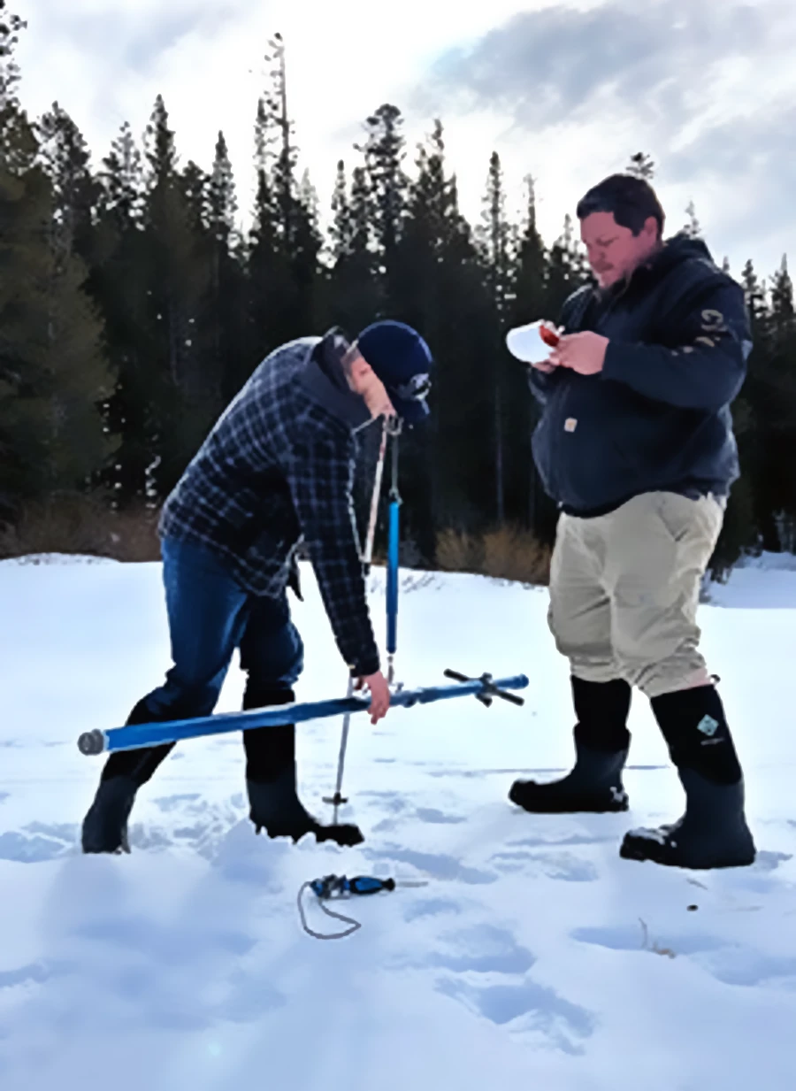
Current Snowpack Conditions

As of today, the snowpack at Echo Summit, located in El Dorado County, has experienced a decline due to a notably dry January. Statewide, the Sierra snowpack has decreased to approximately 65% of its historical average for this time of year.
The U.S. Department of Agriculture’s SNOTEL site at Echo Peak, near Echo Summit, provides detailed data on snow water equivalent (SWE) and snow depth. However, specific current measurements for Echo Peak are not available in the provided sources. For the most accurate and up-to-date information, residents are encouraged to consult the USDA’s official reports.
Upcoming Weather and Snowpack Projections
The National Weather Service forecasts significant precipitation for the Echo Summit area in the coming days. Starting Monday, February 3, snow is expected, with new snow accumulation of around an inch possible during the day. Monday night could bring heavier snowfall, with 5 to 9 inches possible. On Tuesday, February 4, snow is anticipated to continue, with an additional 6 to 10 inches possible.
These incoming storms are expected to bolster the snowpack at Echo Summit, potentially improving conditions after the recent decline. However, the exact impact on the overall snowpack will depend on the intensity and duration of the precipitation.
Safety Advisories
Due to the forecasted heavy snowfall and strong winds, the U.S. National Weather Service has issued several warnings for the Greater Lake Tahoe Area, which includes Echo Summit:
- Avalanche Warning: In effect until Sunday, 5:30 AM PST. Dangerous avalanche conditions exist due to intense rain, heavy snow, and strong winds. Traveling in, near, or below backcountry avalanche terrain is not recommended.
- Flood Watch: In effect through Tuesday afternoon. Excessive runoff may result in rapid rises and potential flooding of rivers, creeks, and streams. Recent burn areas are particularly prone to increased runoff and sediment transport.
- Winter Storm Watch: In effect from Monday afternoon through Wednesday morning. Heavy snow and strong winds could make travel very difficult to impossible. Very strong winds could cause extensive damage to trees and power lines.
Residents and travelers are urged to monitor the latest forecasts and heed any additional warnings. For the most current information, visit the National Weather Service’s website.


