Latest Update
(Thursday, 8:30 am): The fire is at 45% containment and remains at 181 acres.
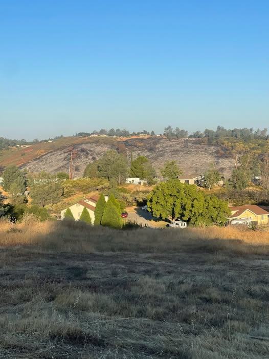
SHINGLE SPRINGS, Calif. (June 19, 2025) — The Bonanza Fire, which ignited Tuesday afternoon near Bonanza Auto Road east of Shingle Springs, has burned approximately 181 acres and is now 40% contained, according to Cal Fire’s Amador‑El Dorado Unit
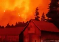

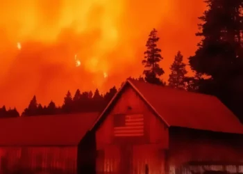
The fire broke out around 2:31 p.m. June 17 near Bonanza Auto Road and Hollandview Drive, quickly spreading into brushland and igniting at least eight vehicles at a nearby salvage yard. Fire crews halted forward progress by Tuesday evening, and containment lines were reinforced through the night
A mandatory evacuation order issued for Chablis Drive, Lumbo Road, and adjacent areas was lifted Wednesday morning. Evacuees were allowed to return home after a temporary shelter was set up at the Placerville Library.
Cal Fire spokesperson Ben Strahan, an El Dorado Hotshots firefighter, praised collaborative suppression efforts:
“It’s a very good indication of what we could be expecting … the brush burned well,” Strahan said, describing overnight progress
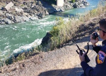
At 15% containment as of early Wednesday, crews continue mop-up operations to extinguish hot spots and strengthen control lines Power outages affecting Pacific Gas & Electric were restored, and no structures were destroyed
The blaze remains active and zero percent contained according to Cal Fire’s morning incident update, with the cause still under investigation. Firefighters continue daily patrols, while residents are urged to maintain defensible space and stay alert to possible flare-ups.
What You Should Know Now
-
Fire Status: About 181 acres, 40% contained (Cal Fire evening update)
-
Evacuations: All mandatory orders lifted; residents returned home Wednesday morning.
-
Safety Advisories: Proceed cautiously in former evacuation zones. Continue clearing vegetation and monitor official El Dorado County alerts.
-
Forward Outlook: Mop-up continues amid dry brush conditions; containment expected to progress.
Residents can view real-time updates—including perimeter maps and evacuation zones—on Cal Fire’s incident page and El Dorado County emergency services sites.
See video here: https://fb.watch/AjgC9rBKSO/


