High Wind Warning:
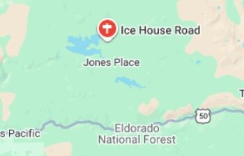
A High Wind Warning is in effect for the Motherlode region of El Dorado County from 4 p.m. Tuesday through 4 p.m. Thursday, according to the National Weather Service. South winds of 25 to 35 mph, with gusts reaching up to 60 mph, are expected to impact foothill communities during two separate wind peaks overnight and again late Wednesday into Thursday.
Forecasters say the strongest winds will arrive Tuesday night into Wednesday morning, followed by a brief lull Wednesday afternoon before another round of damaging gusts develops Wednesday night into Thursday. Saturated soils from ongoing rainfall increase the risk of downed trees and power lines, potentially leading to widespread power outages across the region.
“Strong winds combined with wet ground conditions can bring trees down quickly and without warning,” the National Weather Service Sacramento office said in its urgent weather message. “Residents should secure loose items now and be prepared for difficult travel, especially if driving high-profile vehicles.”
In addition to the wind threat, the Motherlode faces periods of heavy rain and isolated thunderstorms through Christmas Day. Some storms may produce intense rainfall, raising concerns for localized flooding, poor visibility, and hazardous road conditions. Patchy to areas of dense fog are also possible during the overnight and early morning hours, particularly before winds fully increase.
Travel impacts are expected along ridge tops and exposed roadways, where strong crosswinds may make driving difficult. Holiday decorations, temporary structures, and unsecured outdoor items are especially vulnerable to damage or becoming airborne.
Emergency officials urge residents to charge electronic devices, check flashlights and generators, and avoid unnecessary travel during peak wind periods. Those who must be outside should remain alert for falling debris and tree limbs.
The National Weather Service advises residents to monitor updated forecasts and warnings as conditions evolve through Thursday.


