By Cris Alarcon, InEDC Writer. March 19, 2026)
PLACERVILLE, Calif. —
Residents, developers and public agencies in El Dorado County now have access to a new, modernized geographic information system as county officials prepare to retire a decades-old platform at the end of the month.


The County Surveyor’s Office has officially launched the EDC GIS Viewer, a web-based mapping tool designed to replace the long-standing GOTNET system. The transition marks a significant upgrade in how property and geographic data are accessed across the county.
According to county officials, the legacy GOTNET platform will be permanently decommissioned after March 31, 2026. Users are being encouraged to transition immediately to avoid disruption in accessing parcel and mapping information.
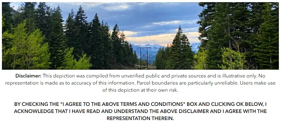
The new GIS Viewer allows users to search for property information by address or Assessor’s Parcel Number (APN), providing streamlined access to ownership details, parcel boundaries and other key geographic data. The platform is intended to serve a broad audience, including residents, real estate professionals, surveyors and government staff.
In tandem with the viewer, the county has also launched a Geospatial Hub, a centralized online portal connecting users to a wide range of mapping and data resources. The hub includes access to the county’s Open Data catalog, which offers free, downloadable GIS datasets in multiple formats suitable for mapping software, analytics platforms and other digital applications.
Officials say the upgrade reflects a broader effort to modernize public access to government data and improve transparency.
“These tools give the community faster, clearer access to essential geographic information,” said Jennifer Carlton, senior GIS analyst for the county. “By modernizing our systems, we’re making it easier for residents, businesses and County staff to find the data they need to make informed decisions.”
The Open Data catalog, available through the Geospatial Hub, enables users to preview and download authoritative datasets maintained by the county. This includes layers such as zoning, infrastructure, environmental features and other planning-related information.
The transition comes at a time when demand for accurate, real-time geographic data continues to grow, particularly in land use planning, emergency response and development projects throughout El Dorado County.
County officials emphasized that while the new system is designed to be more user-friendly and efficient, early adoption will help users adjust before the legacy system goes offline.
For access, users can visit the county’s Geospatial Hub and the EDC GIS Viewer through official El Dorado County web resources.


