
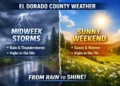
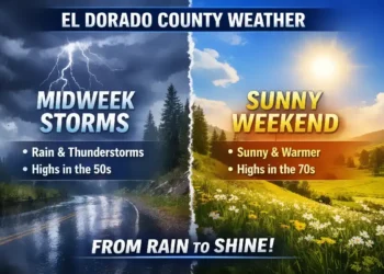
El Dorado County (Nov 13, 2024) – Here’s the latest extended forecast for El Dorado County at around the 900-foot elevation mark:
- Thursday: Mostly cloudy skies with a chance of morning showers, increasing slightly by the afternoon. Expect highs between 50-60°F, with light southwest winds up to 10 mph in the afternoon. Overnight, rain showers are likely, with lows dropping to 35-45°F.
- Friday: Showers are forecasted throughout the day, cooling the area with highs from 41-53°F. Winds will remain light. By nightfall, skies should start to clear, and temperatures will fall to a colder range of 28-36°F, bringing a slight chance of frost after midnight.
- Saturday: Expect a sunny day with widespread morning frost. Daytime highs will reach 47-57°F, while the evening will bring clear skies and areas of frost again, with lows between 32-40°F.
- Sunday: Partly cloudy with a slight chance of rain showers in the daytime, warming to highs of 49-59°F. Clouds will build overnight, bringing a chance of showers and lows around 34-44°F.
- Monday: Another partly cloudy day with only a small chance of rain, and daytime highs between 49-59°F. Clear skies will return by evening, dropping temps to lows around 33-41°F.
- Tuesday and Wednesday: Mostly clear skies with highs around 53-67°F. Lows will be in the 33-46°F range, with a warmer trend by mid-week. Wednesday looks mostly sunny and clear, perfect for enjoying a crisp fall day.
This forecast hints at a cooling trend over the weekend with clearer skies after Friday’s showers, which could result in widespread frost for several mornings. Keep an eye out for frost-sensitive plants and prepare for chilly conditions if you’re out early or late in the day. Let us know how these weather patterns affect your plans!
For further updates, check resources like the
and local stations in Placerville and El Dorado County for any short-term changes to the forecast
Source:
National Weather Service
Via:
Cris Alarcon


